 Old Cumbria Gazetteer
 |
 |
|
| included in:- |
 St Paul, Witherslack St Paul, Witherslack |
|
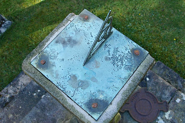
| sundial, Witherslack | ||
| site name:- | St Paul's Church | |
| locality:- | Witherslack | |
| civil parish:- | Witherslack (formerly Westmorland) | |
| county:- | Cumbria | |
| locality type:- | sundial | |
| coordinates:- | SD43188417 | |
| 1Km square:- | SD4384 | |
| 10Km square:- | SD48 | |
|
|
||
 BQI22.jpg (taken 29.3.2009) 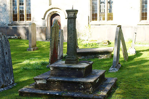 BQI21.jpg (taken 29.3.2009) |
||
|
|
||
| evidence:- | database:- Listed Buildings 2010 |
|
| source data:- | courtesy of English Heritage "SUNDIAL APPROXIMATELY 12 METRES SOUTH OF CHURCH OF ST PAUL / / CHURCH ROAD / WITHERSLACK / SOUTH LAKELAND / CUMBRIA / II / 77137 / SD4319384177" |
|
| source data:- | courtesy of English Heritage "Sundial. 1757, but plate dated 1671. Ashlar. 3 square steps with nosing. Round column has square base and capital fillets to east and west, may be natural weathering. Square plate with gnomon." |
|
|
|
||
| notes:- |
Cumbrian Sundials database, R Sylvester, 29.5.2008:- |
|
| "Witherslack / Church near Grange-over-Sands / Barwick plaque by church door" |
||
| made 1675 |
||
| British Sundial Society reference number 3274 |
||
|
|
||
Lakes Guides menu.