 Old Cumbria Gazetteer
 |
 |
|
| Little Braithwaite Bridge, Braithwaite | ||
| Little Braithwaite Bridge | ||
| site name:- | Newlands Beck | |
| locality:- | Little Braithwaite | |
| civil parish:- | Above Derwent (formerly Cumberland) | |
| county:- | Cumbria | |
| locality type:- | bridge | |
| coordinates:- | NY23862300 | |
| 1Km square:- | NY2323 | |
| 10Km square:- | NY22 | |
|
|
||
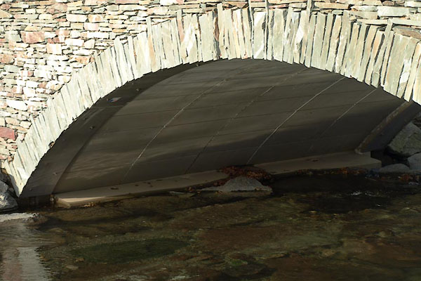
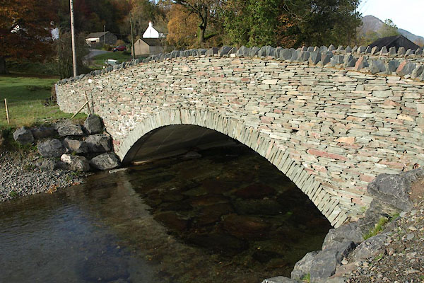 BVP75.jpg (taken 5.11.2011) 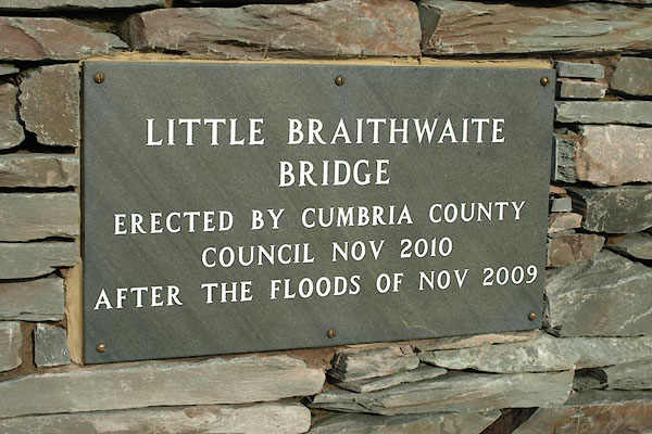 BVP77.jpg Plaque:- "LITTLE BRAITHWAITE / BRIDGE / ERECTED BY CUMBRIA COUNTY / COUNCIL NOV 2010 / AFTER THE FLOODS OF NOV 2009" (taken 5.11.2011) |
||
|
|
||
| evidence:- | old map:- Donald 1774 (Cmd) |
|
| source data:- | Map, hand coloured engraving, 3x2 sheets, The County of Cumberland, scale about 1
inch to 1 mile, by Thomas Donald, engraved and published by Joseph Hodskinson, 29
Arundel Street, Strand, London, 1774.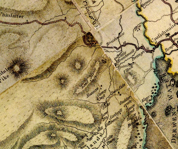 D4NY22SW.jpg double line across a river; a bridge at Little Braithwaite item:- Carlisle Library : Map 2 Image © Carlisle Library |
|
|
|
||
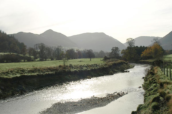 BVP78.jpg View of river. (taken 5.11.2011) 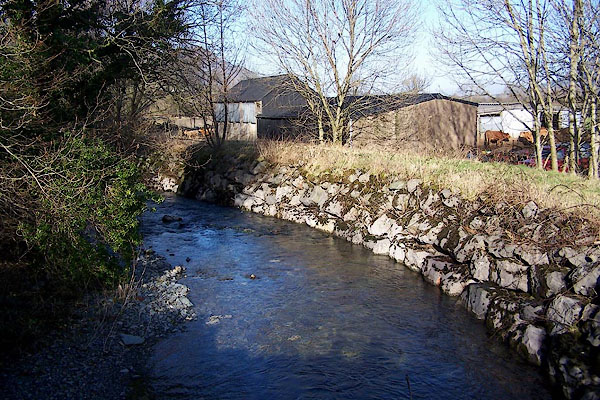 BNE11.jpg View of river. (taken 14.2.2007) 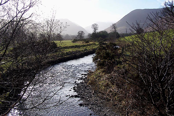 BNE12.jpg View of river. (taken 14.2.2007) |
||
|
|
||
 BVP76.jpg (taken 5.11.2011) 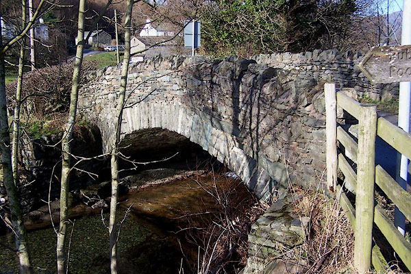 BNE10.jpg (taken 14.2.2007) |
||
|
|
||
| hearsay:- |
The 19th century arch was destroyed by flood water, 2009. The river burst through
its banks and ran straight to the A66 depositing boulders and gravel across the fields.
The replacement bridge has a 'similar appearance' to the old, 2011. |
|
|
|
||
 Lakes Guides menu.