Old Cumbria Gazetteer
 |
 |
|
||
| Scope Beck | ||||
| runs into:- |  Newlands Beck Newlands Beck |
|||
|
|
||||
| locality:- | Little Dale | |||
| civil parish:- | Above Derwent (formerly Cumberland) | |||
| county:- | Cumbria | |||
| locality type:- | river | |||
| 1Km square:- | NY2118 | |||
| 10Km square:- | NY21 | |||
|
|
||||
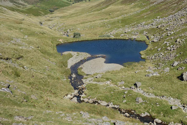
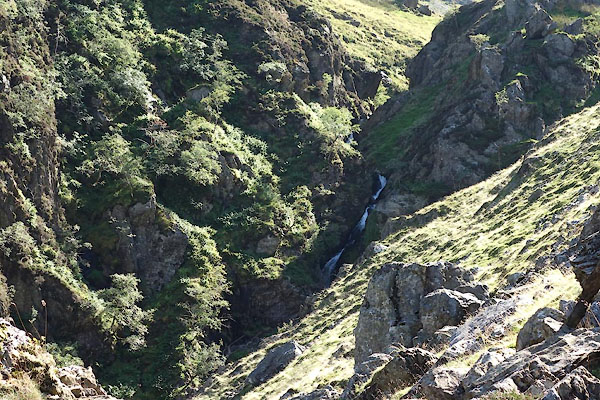
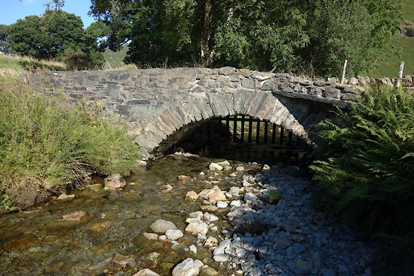
 BZG68.jpg Running from the Goldscope Mine dam, (taken 6.9.2013) 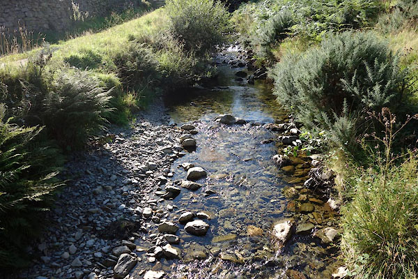 BZG87.jpg At a bridge, (taken 6.9.2013) |
||||
|
|
||||
| evidence:- | old map:- OS County Series (Cmd 69 4) placename:- Scope Beck |
|||
| source data:- | Maps, County Series maps of Great Britain, scales 6 and 25
inches to 1 mile, published by the Ordnance Survey, Southampton,
Hampshire, from about 1863 to 1948. |
|||
|
|
||||
| evidence:- | old map:- Donald 1774 (Cmd) |
|||
| source data:- | Map, hand coloured engraving, 3x2 sheets, The County of Cumberland, scale about 1
inch to 1 mile, by Thomas Donald, engraved and published by Joseph Hodskinson, 29
Arundel Street, Strand, London, 1774.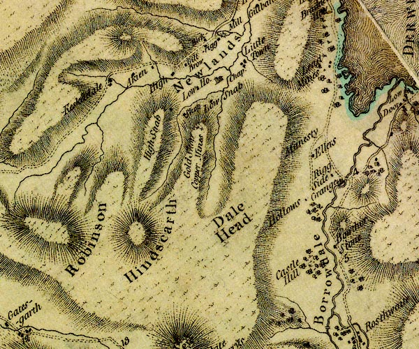 D4NY21NW.jpg single or double wiggly line; a river item:- Carlisle Library : Map 2 Image © Carlisle Library |
|||
|
|
||||
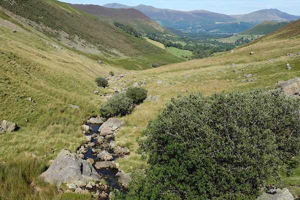
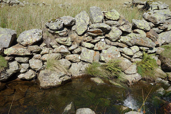 BZG55.jpg By a sheepfold, (taken 6.9.2013)  CBB16.jpg (taken 9.7.2014) |
||||
|
|
||||
| places:- |
|
|||
|
||||
|
||||
Lakes Guides menu.