 Old Cumbria Gazetteer
 |
 |
|
| Sand Hill, Buttermere | ||
| Sand Hill | ||
| civil parish:- | Buttermere (formerly Cumberland) | |
| civil parish:- | Above Derwent (formerly Cumberland) | |
| county:- | Cumbria | |
| locality type:- | hill | |
| locality type:- | boundary feature | |
| locality type:- | parish boundary feature | |
| coordinates:- | NY18702187 | |
| 1Km square:- | NY1821 | |
| 10Km square:- | NY12 | |
| altitude:- | 2480 feet | |
| altitude:- | 756m | |
|
|
||
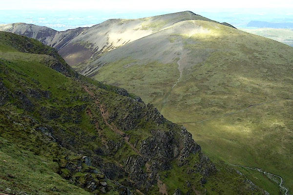 BNP64.jpg (taken 26.4.2007) |
||
|
|
||
| evidence:- | old map:- OS County Series (Cmd 63 11) placename:- Sand Hill |
|
| source data:- | Maps, County Series maps of Great Britain, scales 6 and 25
inches to 1 mile, published by the Ordnance Survey, Southampton,
Hampshire, from about 1863 to 1948. |
|
|
|
||
 Lakes Guides menu.