 Old Cumbria Gazetteer
 |
 |
|
| Rough Crags, Coniston | ||
| Rough Crags | ||
| locality:- | Greenburn | |
| civil parish:- | Coniston (formerly Lancashire) | |
| county:- | Cumbria | |
| locality type:- | rocks | |
| coordinates:- | NY28270252 (etc) | |
| 1Km square:- | NY2802 | |
| 10Km square:- | NY20 | |
|
|
||
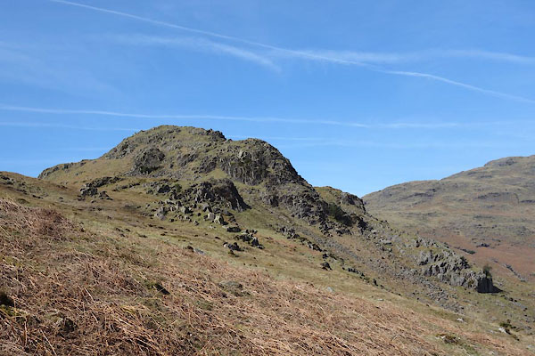 CCX78.jpg (taken 22.4.2015) |
||
|
|
||
| evidence:- | old map:- OS County Series (Cmd 80 6) placename:- Rough Crags |
|
| source data:- | Maps, County Series maps of Great Britain, scales 6 and 25
inches to 1 mile, published by the Ordnance Survey, Southampton,
Hampshire, from about 1863 to 1948. |
|
|
|
||
 Lakes Guides menu.