 Old Cumbria Gazetteer
 |
 |
|
| Prison Band, Coniston | ||
| Prison Band | ||
| Prism | ||
| Swirl Gap | ||
| site name:- | Swirl How | |
| civil parish:- | Coniston (formerly Lancashire) | |
| county:- | Cumbria | |
| coordinates:- | NY276006 | |
| 1Km square:- | NY2700 | |
| 10Km square:- | NY20 | |
| SummaryText:- | The depression between Wetherlam and Swirl How. | |
|
|
||
| evidence:- | outline view:- Otley 1823 (8th edn 1849) placename:- Prism |
|
| source data:- | Engraving, outline view of mountains, Coniston Water from near Bank Ground, drawn
by T Binns, engraved by O Jewitt, opposite p.8 of A Descriptive Guide of the English
Lakes, by Jonathan Otley, 8th edition, 1849.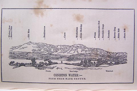 click to enlarge click to enlargeO80E05.jpg item:- Armitt Library : A1180.6 Image © see bottom of page |
|
|
|
||
| MN photo:- |
A gallery of rocks! |
|
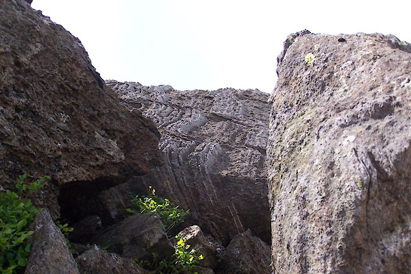 BWU76.jpg (taken 18.6.2012) 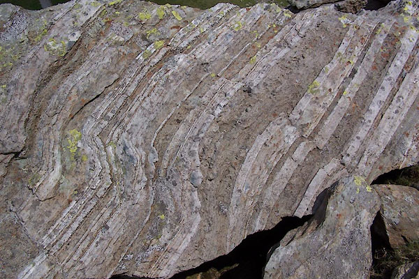 BWU77.jpg (taken 18.6.2012) 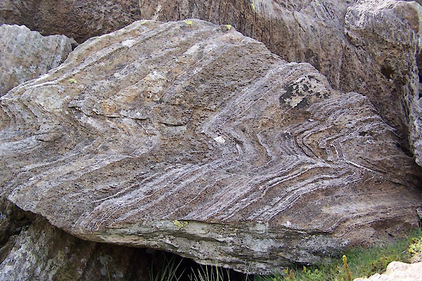 BWU78.jpg (taken 18.6.2012) 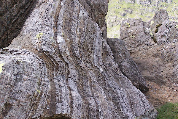 BWU79.jpg (taken 18.6.2012) 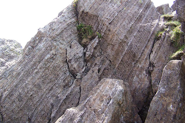 BWU80.jpg (taken 18.6.2012) 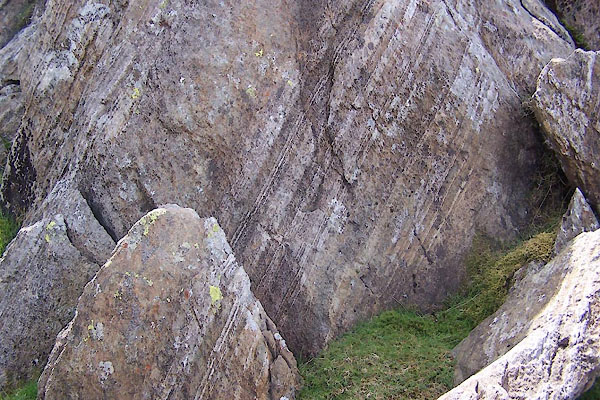 BWU81.jpg (taken 18.6.2012) 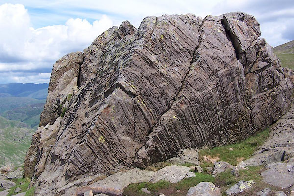 BWU82.jpg (taken 18.6.2012) 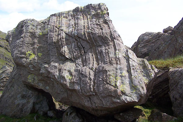 BWU83.jpg (taken 18.6.2012) |
||
|
|
||
 Lakes Guides menu.