 Old Cumbria Gazetteer
 |
 |
|
| Hell Gill, Lakes | ||
| Hell Gill | ||
| site name:- | Buscoe Sike | |
| locality:- | Great Langdale | |
| civil parish:- | Lakes (formerly Westmorland) | |
| county:- | Cumbria | |
| locality type:- | valley | |
| coordinates:- | NY25900552 (etc) | |
| 1Km square:- | NY2505 | |
| 10Km square:- | NY20 | |
|
|
||
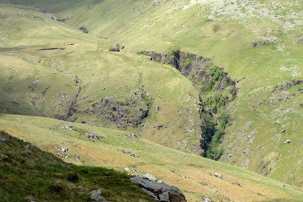 CAQ69.jpg (taken 14.5.2014) 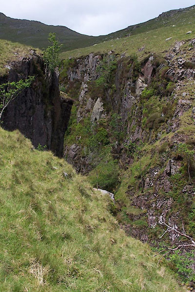 BUP53.jpg (taken 19.5.2011) |
||
|
|
||
| evidence:- | old map:- OS County Series (Wmd 25 5) placename:- Hell Gill |
|
| source data:- | Maps, County Series maps of Great Britain, scales 6 and 25
inches to 1 mile, published by the Ordnance Survey, Southampton,
Hampshire, from about 1863 to 1948. |
|
|
|
||
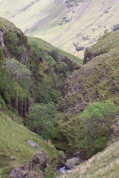 BUP54.jpg (taken 19.5.2011) 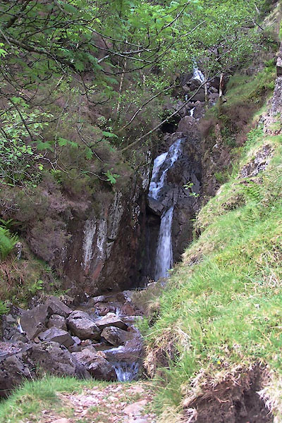 BUP52.jpg (taken 19.5.2011) |
||
|
|
||
 Lakes Guides menu.