 Old Cumbria Gazetteer
 |
 |
|
| Anguswell, Hethersgill | ||
| Anguswell | ||
| civil parish:- | Hethersgill (formerly Cumberland) | |
| county:- | Cumbria | |
| locality type:- | buildings | |
| coordinates:- | NY47186602 | |
| 1Km square:- | NY4766 | |
| 10Km square:- | NY46 | |
|
|
||
| evidence:- | old map:- OS County Series (Cmd 11 10) placename:- Anguswell |
|
| source data:- | Maps, County Series maps of Great Britain, scales 6 and 25
inches to 1 mile, published by the Ordnance Survey, Southampton,
Hampshire, from about 1863 to 1948. |
|
|
|
||
| evidence:- | old map:- Donald 1774 (Cmd) placename:- Anges Well |
|
| source data:- | Map, hand coloured engraving, 3x2 sheets, The County of Cumberland, scale about 1
inch to 1 mile, by Thomas Donald, engraved and published by Joseph Hodskinson, 29
Arundel Street, Strand, London, 1774.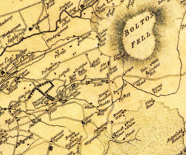 D4NY46NE.jpg "An[g]es Well" block or blocks, labelled in lowercase; a hamlet or just a house item:- Carlisle Library : Map 2 Image © Carlisle Library |
|
|
|
||
| evidence:- | database:- Listed Buildings 2010 placename:- Anguswell |
|
| source data:- | courtesy of English Heritage "ANGUSWELL / / / HETHERSGILL / CARLISLE / CUMBRIA / II / 77882 / NY4718566025" |
|
|
|
||
| evidence:- | database:- Listed Buildings 2010 item:- coat of arms |
|
| source data:- | courtesy of English Heritage "DOVECOTE EAST OF ANGUSWELL / / / HETHERSGILL / CARLISLE / CUMBRIA / II / 77883 / NY4721566024" |
|
|
|
||
| notes:- |
possible bastle, demolished |
|
| Perriam, D R &Robinson, J: 1998: Medieval Fortified Buildings of Cumbria: CWAAS::
ISBN 1 873124 23 6 |
||
|
|
||
 Lakes Guides menu.