 Greenwood 1824

|

|
|

|
detail menu | |
|
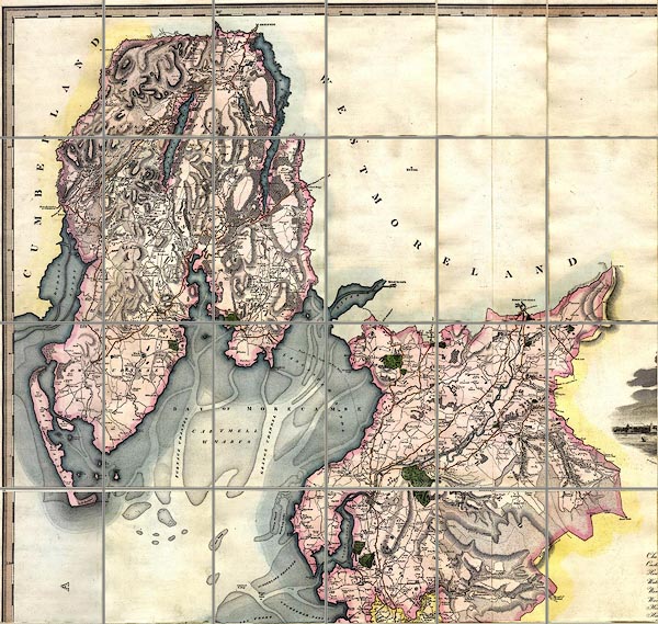
Map of the County Palatine of Lancashire, scale about 1
inch to 1 mile, surveyed by C Greenwood, drawn by R
Creighton, engraved by S Neele and Son, published by W
Fowler and C Greenwood, Wakefield, Yorkshire and Leicester
Square, London, 1818.
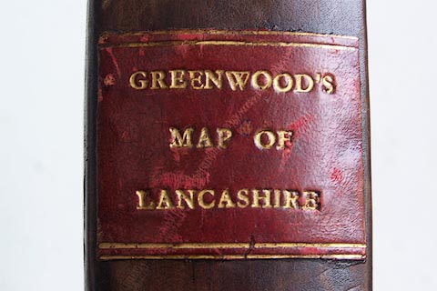
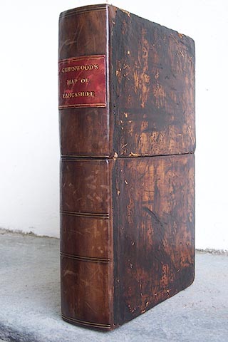
The map was printed in 6 sheets, which are mounted in pairs ie 3 sets, sectioned for folding, mounted and folded in a slip case. |
||
|
|
Greenwood 1824 | |
| map feature:- | sectioned for folding (3 pieces each 9x3 pieces) & mounted & folded & slip case (like a leather full bound book) & vignettes (lower right, LIVERPOOL) & table of symbols & compass rose & up is N & scale line & lat and long scales & sea plain & coast form lines & rivers & lakes & relief & hill hachuring & woods & forests & parks & county & wards (hundreds) & settlements & roads & turnpike roads & road distances & canals | |
| inscription:- |
printed upper right
MAP / of the / COUNTY PALATINE / OF / Lancashire, / from an Actual Survey made in the Year 1818, / By / C. GREENWOOD, / Wakefield. / Drawn by R. CREIGHTON, 38 Lisle Street, London, / Published by the Proprietors, / W. FOWLER & C. GREENWOOD, / Wakefield, & Leicester Square, London. / DECR. 1st. 1818. / Engraved by S. NEELE & SON, 352 Strand, London. |
|
| inscription:- |
printed bottom centre and right of each sheet?
Published Decr. 1st. 1818, by Greenwood & Co. / Neele & Son sculp. |
|
| scale line:- | 10+1 miles = 269 mm | |
| wxh, folded:- | 15.5x25.5cm | |
| wxhxd, slip case:- | 18x28x5.5cm | |
| wxh, sheet:- | 138.5x73.5cm | |
| wxh, map (including gaps):- | 1366x665mm | |
| scale:- | 1 to 66000 ? (1 to 65810 from scale line assuming a statute mile) | |
|
||
|
||