 Old Cumbria Gazetteer
 |
 |
|
| Ash Meadow, Arnside | ||
| Ash Meadow | ||
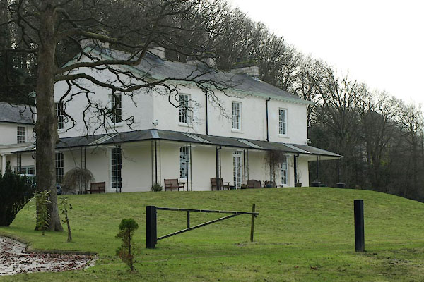
| Ashmeadow House | ||
| Street:- | Promenade (The) | |
| locality:- | Arnside | |
| civil parish:- | Arnside (formerly Westmorland) | |
| county:- | Cumbria | |
| locality type:- | buildings | |
| coordinates:- | SD45327856 | |
| 1Km square:- | SD4578 | |
| 10Km square:- | SD47 | |
|
|
||
 BTZ81.jpg (taken 8.2.2011) |
||
|
|
||
| evidence:- | old map:- OS County Series (Wmd 46 9) placename:- Ash Meadow |
|
| source data:- | Maps, County Series maps of Great Britain, scales 6 and 25
inches to 1 mile, published by the Ordnance Survey, Southampton,
Hampshire, from about 1863 to 1948. |
|
|
|
||
| evidence:- | database:- Listed Buildings 2010 placename:- Ash Meadow |
|
| source data:- | courtesy of English Heritage "ASH MEADOW / / THE PROMENADE / ARNSIDE / SOUTH LAKELAND / CUMBRIA / II / 76634 / SD4532078563" |
|
|
|
||
 Lakes Guides menu.