 Old Cumbria Gazetteer
 |
 |
|
| Arant Haw, Sedbergh | ||
| Arant Haw | ||
| locality:- | Brant Fell | |
| locality:- | Howgill Fells | |
| civil parish:- | Sedbergh (formerly Yorkshire) | |
| county:- | Cumbria | |
| locality type:- | hill | |
| coordinates:- | SD66189460 (etc) | |
| 1Km square:- | SD6694 | |
| 10Km square:- | SD69 | |
| altitude:- | 1985 feet | |
| altitude:- | 605m (?) | |
|
|
||
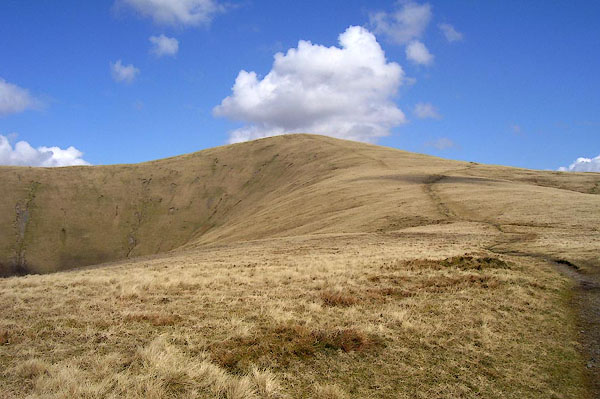 BOY13.jpg (taken 31.3.2008) |
||
|
|
||
| evidence:- | old map:- Jefferys 1770 (Wmd) |
|
| source data:- | Map, 4 sheets, The County of Westmoreland, scale 1 inch to 1
mile, surveyed 1768, and engraved and published by Thomas
Jefferys, London, 1770.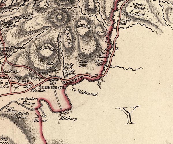 J5SD69SE.jpg hill hachuring; hill or mountain item:- National Library of Scotland : EME.s.47 Image © National Library of Scotland |
|
|
|
||
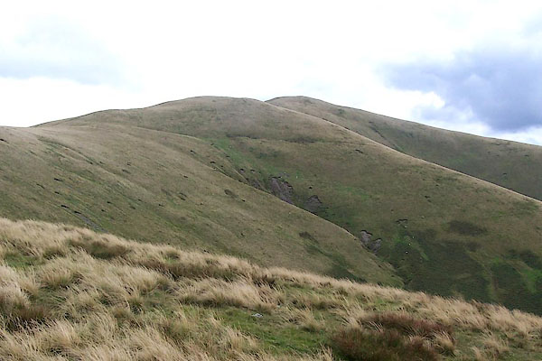 BRI40.jpg (taken 27.8.2009) |
||
|
|
||
 Lakes Guides menu.